- This event has passed.
Cotswold Scarp Field Trip (Hawkesbury – Stroud) – Dr Nick Chidlaw
May 17 @ 10:00 am – May 18 @ 5:00 pm
In May 2023 (13th and 14th) we ran a Cotswold scarp 2-day field trip comprising 2 linear walks in the southern Cotswolds between the city of Bath and the village of Hawkesbury Upton.
Some attendees on this field trip indicated that they would be interested in a similar event, continuing further N along the scarp, in order to see and recognise the changes that occur in the Jurassic strata, and the associated changes in scenery, compared with the area they had studied between Bath and Hawkesbury. The strata change noticeably. The sedimentary basin these strata were deposited in is the ‘Severn Basin’, a rift basin that subsided from Permian – Late Jurassic times, associted with the opening of the North Atlantic Ocean. There is a basin-wide angular unconformity within the Middle Jurassic strata that occurred at 170 Ma. The strata below the 170 Ma angular unconformity become thicker and units begin to appear that do not occur in the S Cotswolds, as they are traced across a major underlying extensional fault, marking the W margin of the Basin. The strata pass from thinner, somewhat discontinuous rocks deposited on the more tectonically-stable Avon Platform, into the subsiding Severn Basin rift (see attached image below) . Some of these strata also change lithologically, notably the Marlstone Rock Formation. As the strata are traced further into the Severn Basin, towards the town of Stroud, thickness changes continue, particularly in the Early Jurassic rocks, in response to subsidence variations that were occurring as they were deposited, in the underlying, moving block-faulted basement. The strata above the 170 Ma angular unconformity become thinner than they are to the S, since they were deposited where subsidence was lower, being further from the main area of subsidence in the Vale of Pewsey in Wiltshire.
This proposed 2 day trip is independent of the one run in 2023 – enrollees do not need to have attended the earlier one in order to understand what is covered on the one this year.
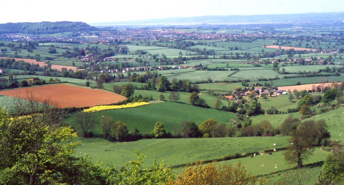
Similarly to the trip in the Bath – Hawkesbury area, this proposed trip follows the Cotswold scarp taking two selected linear walking routes within the stated geographic extent. It would utilise the Cotswold Way National Trail footpath, adjacent public footpaths and country lanes. Along the route, rock exposures in old quarries, the sides of incised trackways, bases of footpaths and field ‘brash’ will be examined, together with related landforms. The purpose of the field trip is to note changes in the rocks and their landforms along the planned route, and learn how geologists have accounted for them.
Note that the field trip would, as before, focus on the scarp itself, as opposed to using the scarp as a viewpoint from which to study and explain the landforms and their underlying geology to the west. Some reference would be given to this western area, but the main study is of the rocks and landforms underfoot and nearby.
Emphasis is placed on seeing key exposures, so the first day has a short linear walk followed by driving between selected locations during the rest of that day. The second day involves longer linear walks, amounting to c. 5 miles in total. The walking is at a gentle pace with plenty of stops to examine the geology and landforms. Details of meeting points will be provided to those enrolled. As the walks are ‘linear’, they would require volunteers to park at the far end of each day’s walk to bring the field party back to the start point. I would meet such volunteers at this far end before the start of each day’s schedule, and drive them back to the start points. If you are interested and available for this field trip, please let me know when you enrol if you are willing to be a volunteer driver, and how many passengers you would be able to take in your vehicle besides yourself.
If the proposal proves of interest, additional geological walks continuing further north along the scarp will be considered and offered to run in the future.
Proposed Dates
Saturday 17th and Sunday 18th May
Tuition fee would be £60.00 per person.
Times each day would be 10.00 am – 5.00 / 6.00 pm.
Viability Deadline
Sunday 30th March. If the proposal reaches viability (minimum of 10 enrollees) we will be able to continue with arranging the event. If there are not enough enrollees, the event will be cancelled and received fees returned soon after this date to those who have sent them in. If viability is reached, enrolments will be able to continue up to 2 weeks (Saturday 3rd May) before the event runs.
No prior knowledge of geology or the study area would be assumed. Please note that you would need to make your own transport arrangements, and accommodation arrangements if your home location is beyond reasonable commuting distance. Tutor can advise on accommodation information, and assist attendees contacting each other regarding sharing transport and accommodation to save on costs, should they wish to do this.
A detailed illustrated handout would be sent out (PDF or printout) to those enrolled a few weeks before the trip is due to run, so they have full advance details on what we would be visiting and when, and its geological significance.
Note: This field trip is exclusively for WGCG members. If you’re interested in joining, please reach out to Nick Chidlaw directly. You can find his email address in the email sent by Julie Harrald on March 19th.

