Report by Ray Pratt
Despite the atrocious weather the annual Geologists’ Association (GA) event was well attended and well received by delegates. The Friday evening geo walk around the campus went ahead attended by some very sturdy souls. Others chose to take in the William Smith permanent geological exhibition.
On Saturday guests were welcomed wit refreshments and snacks before collecting together in
the conference theatre for a welcome address given by Stuart Egan of Keele University,
followed by the morning Keynote talk “the Geology of North Staffordshire and its
geothermal potential” given by Ian Stimpson of Keele University.

Ian described the unique structural setting of North Staffordshire. North Staffordshire is
situated at a geological crossroads, above the fusion of ancient terranes at the northern
apex of a basement high that controls much of the structure of northern England.
This talk discussed how the region’s deep geological structure has evolved and helped to
locally create a hotter than average temperature gradient, making the area a potential target
for several different types of clean, sustainable, geothermal energy. His key point was that
the legacy of coal mining in the area could now be the primary source of geothermal heat to
be harvested from the abandoned mine workings.
James Thorne, of the institute of quarrying was scheduled next but had to withdraw at short
notice so our
Richard Shaw of Ecton Mine Education Trust, formerly of BGS addressed us on the copper
mining history of the Ecton area in the east of the county. This started on Ecton Hill during
the Bronze Age, about 3500 years ago. There was some small-scale lead mining during the
Middle Ages but it was not until copper had been rediscovered in the mid seventeenth
century that mining started in earnest. Today the mines are used for educational purposes.
Richard spoke passionately on the history of mining in the area, and showed some amazing
photographs of the folding and structures within the Carboniferous Limestone that were discovered underground within the mines. The mineralisation, which occurred in 3 or 4
phases, is post Variscan.

Deep Ecton Mine has been flooded since the mid1850’s and Clayton Mine since 1889. While there are some contemporary accounts of the geology and mineralisation of these pipe vein deposits, no modern geological examination of the flooded workings has been possible until the EC funded UNEXMIN project deployed experimental submersibles in the flooded
workings of Deep Ecton in 2019. This has enabled a better understanding of the geology of the deposit to be developed.
At the break delegates swarmed to the Posters and Displays area where food and
refreshments was laid on while they mingled, caught up with old friends and perused the
exhibits put on by North Staffs Group of the Geologists Association (hosts of the event), East
Midland Geological Society, Hertfordshire Geological Society, Bidulph Grange of the
National Trust, the Geologists Association and Warwickshire Geological Conservation Group

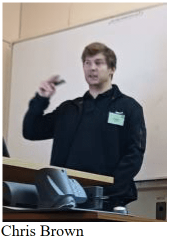
Following the break Chris Brown of BGS gave us an update on the Cheshire basin monitoring system. The UK Geoenergy
Observatory, located in northwest England (Cheshire) and commissioned during 2024, facilitates open- and closed-loop
testing in the Chester Formation, which is part of the Sherwood Sandstone Group. The infrastructure consists of 21 vertical boreholes drilled to 100 m depth, equipped with distributed temperature sensors, electrical resistance tomography,
thermistors, distributed acoustic sensing and data loggers.
Geothermal and underground thermal energy storage are essential to decarbonisation in the UK and internationally. To reach net zero emissions targets, subsurface infrastructure and geological risk must be investigated and mitigated through innovative testing.
Data recorded from the world class sensing equipment provides crucial insights into the
behaviour of subsurface heat and fluid flow, enabling the safe and efficient deployment of
geothermal and underground thermal energy storage systems. Initial findings demonstrate
the technical capabilities of the site, and improved understanding of how open and closed-
loop geothermal systems will behave when extracting and storing thermal energy.

Next up was Jamie Pringle of Keele University talked about technology for identifying underground 20th century military complexes.
Recent events in conflict zones have shown that the successful detection and characterisation of, buried military complexes is vitally important for geoforensic investigators globally, to reduce or solve criminal activities, address national security threats and avoid potential terrorist attacks. However, this can often prove difficult, particularly in urban areas.
Generally, desktop studies assess pre-existing information
that then inform appropriate survey design and technique(s) selection. Survey results then
produce accurate plans of sub-surface targets, with numerical modelling and
correction for above ground infrastructure provide confidence in interpretations. All
investigations are of course unique and require individual phased investigative
approaches to improve detection rates of such important buried targets.
The final session of the morning was delivered by Jonathan Larwood of Natural England talking on Conserving Geoheritage. Geoconservation has its origins in the post-war 1949 National Parks and Access to the Countryside
Act. This established geology as a core value in statutory nature conservation that remains today.
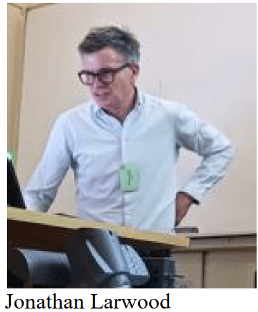
This presentation explored these origins and the wider value placed on our ‘geoheritage’ From the earliest imaginings of past geological worlds and those 19th Century Geologists’ Association Field Excursions into Staffordshire our geoheritage, and the geological sites we value most, have become Sites of Special Scientific Interest, National Nature Reserves, Local Geological Sites, UNESCO World Heritage Sites and UNESCO Global Geoparks. Geoheritage enables us to understand our past, our present and our future. It is a defining part of nature and nature’s recovery. Outlining the history of Geoconservation and emphasising the role it plays is important in today’s LNRS where biodiversity is often dependent upon geodiversity.

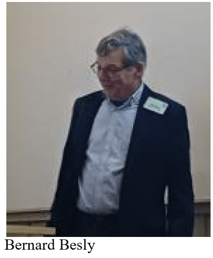
After lunch Bernard Besly of Keele University gave a riveting talk entitled “Coal, Clay and Iron: the resource geology of the Potteries Industrial base viewed in the context of Westphalian climate and basin evolution.
The importance of geology in the industrial and urban development of North Staffordshire is usually reduced to a truism. Workable clays occurring with hot burning, long-flame coal gave the early potters a unique set of resources, and in consequence the pottery towns are developed along the line of their outcrop, reinforcing this fact given by Ian Stimpson earlier in the day.
But why did this happen in North Staffordshire rather than the many other coalfield areas that have
ample clay and coal? And how is this related to North Staffordshire’s other resource-based industries – iron and steel and petrochemicals?
To answer these questions we need to investigate the wider geological history and context: the controls on Carboniferous basin evolution that led to the deposition of the unusual Coal Measures facies association of thick palaeosols, algal rich coals and lacustrine ironstones; the role of Variscan deformation and subsequent Mesozoic rifting in creating a wide range of coal types and maturities and allowing the deposition of the nearby Cheshire halites; and, finally, the ways in which Tertiary uplift and denudation of the Variscan fold structures gave rise to juxtapositions of raw materials that led to the localisation of mining, pottery making and iron making in distinct sub-areas within the
coalfield.
Miranda Goodby a local historian followed giving delegates an insight to the development of the area over the last 300 years and showing pictures of the Potteries industry at its peak, unrecognisable today.
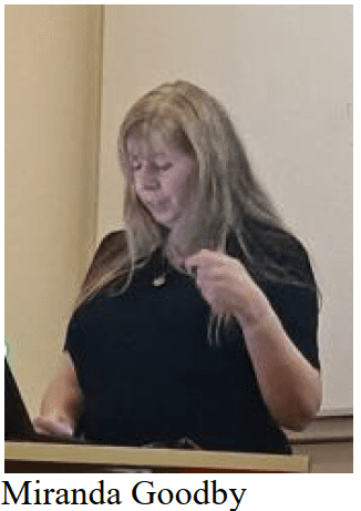
For the last three hundred years the concentration of pottery making in North Staffordshire has led to the district being known as ‘The Potteries’. But although there are huge local deposits of coal and of red clay suitable for the coarse wares of the 17th century, and for making bricks and tiles, by the early 18th century fashionable consumers wanted white Chinese porcelain (or an affordable imitation). With almost no white-firing clay in Staffordshire the potters had to find and bring white clay to Stoke-on-Trent or watch their industry disappear.
Yet the district thrived and by the mid-19th century there were over 300 pottery factories operating simultaneously in Stoke-on- Trent, with their products, including bone china and transfer-printed earthenware, sold across the world.
This talk explained how the industry developed in north Staffordshire, and why it thrived despite the obstacles relating to raw materials and transport.

Holly Elliot of BGS gave an interesting talk on critical minerals and how these are defined here in the UK.
The UK Critical Minerals Intelligence Centre is led by the British Geological Survey and supported by the Department
for Business and Trade, with an overall aim of aiding the UK economy by delivering data, information, and analysis to develop sustainable supplies of critical minerals. Many of these raw materials are imperative in the quest to decarbonise
our future, including the manufacture of wind turbines, solar panels, and electric vehicles. This presentation delved into what makes a mineral or raw material critical, the challenges and opportunities surrounding critical minerals, and provided a UK perspective on domestic deposits.
Bethany Cleaver is a Chartered Mineral Surveyor of Wardell Armstrong which involves the management of mines and
quarries throughout the United Kingdom, as well as providing technical advice to mineral operators and commercial developers. In line with this, Bethany routinely prepares Mineral Resource Assessments, which specifically relate to
mineral safeguarding and a developments compliance with Mineral Planning Policy.

Mineral safe-guarding is an important consideration in planning applications and for future developments. There are important mineral resources which are deserving of protection, but how do we ensure that mineral safeguarding areas are fit for purpose, whilst ensuring the protection of these mineral resources. This talk focused upon mineral resources and the mineral safeguarding areas in Staffordshire, and how it is applied by local government.
The final talk of the day was a postgraduate research report on the glacial processes in North
Staffordshire, delivered by Angie Turner of Keele University’

The glacial history in this region is complex and since the early 1900’s a series of conflicting ice limits have been proposed in this eastern sector of the Irish Sea Glacier. Clarity has been hampered due to a lack of natural exposures and depositional landforms which are traditionally used to determine the limit of former ice masses. My research focusses on multiparametric methods, combining geomorphological mapping sedimentology and geochemistry of field and geotechnical samples to investigate the provenance of till deposits, ice flow direction and ice margins within the area of the south-west Pennines
This was a very successful conference and enjoyed by all those attending of which four were from WGCG, plus the GA president elect, also a WGCG member.